
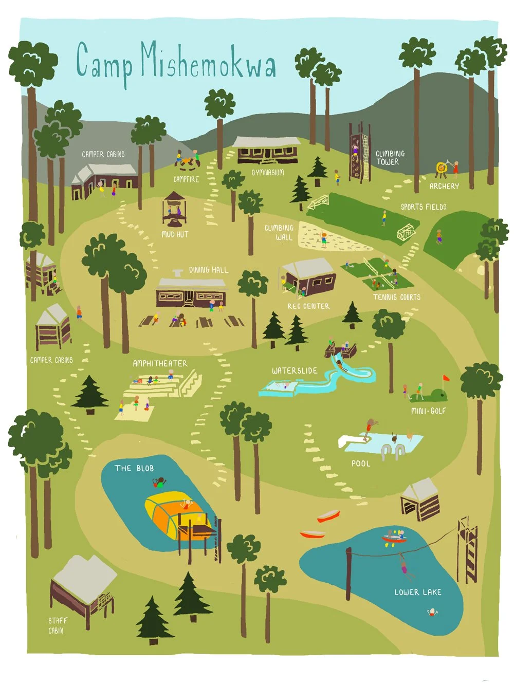
Illustrated Map
Self-directed
I’ve always loved illustrated maps. I can still picture the water-damaged, torn in too many place waterpark map from my childhood that I poured over, planning out imaginary visits in my mind.
Camp Mishemokwa was a sleepaway summer camp that I attended in the early 90s in Bat Cave, North Carolina. While the camp closed in early 2000s, I wanted to create a piece that captured the sense of calm, comfort and fun found each summer in the hills of Mishemokwa.
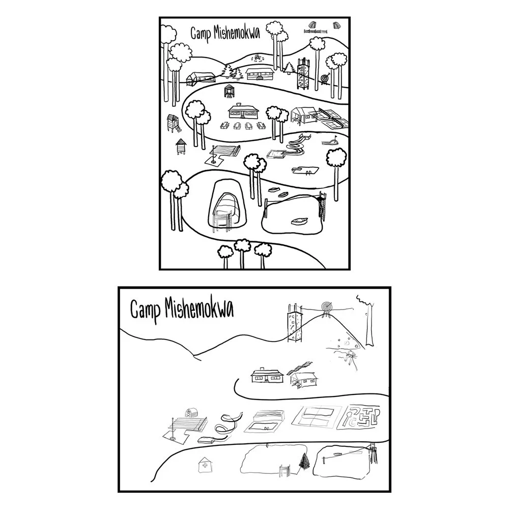
Initial Sketches for the Camp Mishemokwa illustrated map